Berkas:Qatar adm location map.svg

Berkas sujati (Berkas SVG, jimbarnyané 1.039 × 987 piksel, agengnyané berkas: 60 KB)
Ringkesan
| Déskripsi |
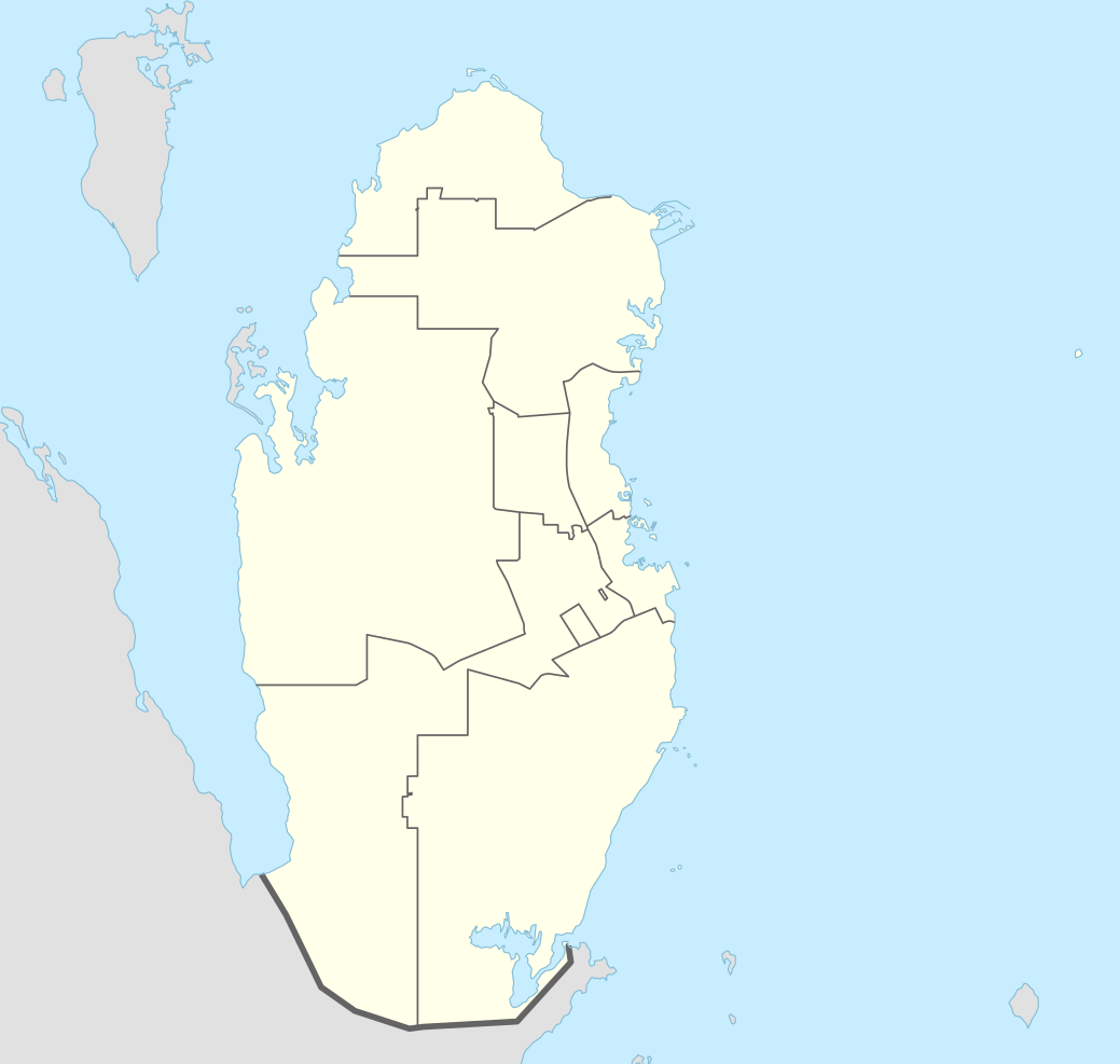
Deutsch: Positionskarte von Katar
English: Location map of Qatar
|
||||||||||||
| Tanggal | |||||||||||||
| Wit |
Own work using:
|
||||||||||||
| Sang anyurat | NordNordWest | ||||||||||||

|
This map has been made or improved in the German Kartenwerkstatt (Map Lab). You can propose maps to improve as well.
|
Lisénsi
Usage of this file with:

explanatory notes: Legally binding is only the full legalcode. For a free usage I recommend to respect the following licence conditions:
1. Provide my name as given above: NordNordWest,
2. a copy of, or the URI for, the applicable license: https://creativecommons.org/licenses/by-sa/3.0/de/legalcode,
3. the title of the work,
4. in the case of an adaptation, a credit identifying the use of the work in the adaptation.
This license and the rights granted hereunder will terminate automatically upon any breach by you of the terms of this license. Any of the above conditions can be waived if you get permission from the copyright holder. If you have questions or wish differing conditions, please contact me through nnwest or my discussion page ![]() t-online.de
t-online.de
- Ida kadadosang:
- Ngedum – Nyadur miwah nyobyahang malih suratan puniki ring wentuk utawi format napi ja
- Nyampuhang – Ngubah pakaryan puniki
- Ring sor kawéntenan puniki:
- atribusi – Ragané patut ngenahang krédit sané patut, ngicénin pranala lisénsinnyané, miwah nguningaang yéning ngardi uahan. Ragané prasida nglaksanaang nganggé tata cara sané sumakuta, nanging nénten mateges yéning sang ngicénin lisénsi nyokong ragané utawi panganggén ragané.
- wagiang pateh – Yening ragane nyampuh, ngubah, utawi ngwangun ring ajeng pakaryan, Ida patuh nyobyahang kontribusi druene ring ungkur lisensi sane pateh utawi kompatibel manut sujatinyane

Babad berkas
Klik ring tanggal/galah anggén nyingakin berkas puniki ri tatkala galah punika.
| Tanggal/Galah | Gambar alit | Diménsi | Sang anganggé | Panampen | |
|---|---|---|---|---|---|
| mangkin | 21 April 2022 13.16 | | 1.039 × 987 (60 KB) | Spesh531 | November 2021 border changes on the southern shore of Khawr al Udayd |
| 18 Oktober 2016 17.38 |  | 1.039 × 987 (60 KB) | NordNordWest | corr | |
| 13 Nopémber 2014 22.25 |  | 1.039 × 987 (50 KB) | NordNordWest | == {{int:filedesc}} == {{Information |Description= {{de|1=Positionskarte von Katar}} {{en|1=Location map of Qatar}} {{Location map series N |stretching=110 |top=26.3 |bottom=24.4 |left=50.3 |right=52.5 }} |Source={{Own using}} * United States National... |
Panganggén berkas
Kaca nganggén berkas puniki:
Panganggén berkas ring jagat
Wiki lianan ring sor puniki nganggén berkas puniki:
- Panganggén ring af.wikipedia.org
- Panganggén ring an.wikipedia.org
- Panganggén ring ast.wikipedia.org
- Panganggén ring azb.wikipedia.org
- Panganggén ring az.wikipedia.org
- Panganggén ring bcl.wikipedia.org
- Panganggén ring bn.wikipedia.org
- Panganggén ring br.wikipedia.org
- Panganggén ring bs.wikipedia.org
- Panganggén ring ca.wikipedia.org
- Panganggén ring ckb.wikipedia.org
- Panganggén ring da.wikipedia.org
- Panganggén ring de.wikipedia.org
Cingak panganggén sajagaté sané lianan saking berkas puniki.